

Free trails & nature walks
Explore Jacksonville and Northeast Florida on foot. Find woodland walks, marsh views and paved paths, with route information and links to park maps.
No trails match your search. Try another name, area or keyword.
Westside
Jacksonville–Baldwin Rail Trail
Free admissionFollow the former railway corridor toward Baldwin. Walk a section or plan a longer outing; the full return trip doubles the distance.
Full published main-trail length; not a loop.
1800 Imeson Road, Jacksonville, FL 32220View trail layout
Source map; may show several routes. Open the full map if the preview does not display on your device. Original map credits remain with the map.
Southside / Bartram
Julington–Durbin Preserve
Free admissionExplore sandy uplands and woodland between Julington and Durbin creeks. The map offers shorter routes as well.
Published round-trip distance; choose the corresponding route on the park map.
13130 Bartram Park Boulevard, Jacksonville, FLView trail layout
Source map; may show several routes. Open the full map if the preview does not display on your device. Original map credits remain with the map.
Arlington / Fort Caroline
Theodore Roosevelt Area
Free admissionWoodland paths lead toward marsh views and historic features. This network connects with Spanish Pond; its total mileage is not a single loop.
Longest continuous route has not been verified.
13165 Mount Pleasant Road, Jacksonville, FL 32225View trail layout
Source map; may show several routes. Open the full map if the preview does not display on your device. Original map credits remain with the map.
Fernandina Beach
Ron Sapp Egans Creek Greenway
Free admissionExplore marsh and woodland along connected walking and cycling paths. Choose a route from the greenway map.
System mileage; longest continuous route has not been verified. Free entry; confirm parking rules at your chosen entrance.
2500 Atlantic Avenue, Fernandina Beach, FL 32034View trail layout
Source map; may show several routes. Open the full map if the preview does not display on your device. Original map credits remain with the map.
Northside
Betz–Tiger Point Preserve
Free admissionWalk among pine flatwoods and maritime hammock with salt-marsh scenery. Connections lead into the wider 7 Creeks network.
Named route distance; longer connected walks require separate route planning.
13990 Pumpkin Hill Road, Jacksonville, FL 32226View trail layout
Source map; may show several routes. Open the full map if the preview does not display on your device. Original map credits remain with the map.
Westside
Tillie K. Fowler — Island Trail
Free admissionThe park map lists the Island Trail as its longer named walking option. The separate Tower Trail leads toward the marsh observation tower.
The 2.5-mile off-road bike trail is not used as the main walking route.
7000 Roosevelt Boulevard, Jacksonville, FL 32244View trail layout
Source map; may show several routes. Open the full map if the preview does not display on your device. Original map credits remain with the map.
Westside
Bulls Bay Preserve
Free admissionWooded hiking and mountain-bike paths include changes in elevation, ponds, and a small waterfall feature. Start at the Old Plank Road entrance.
Longest continuous route has not been verified; consult park information before choosing a route.
8017 Old Plank Road, Jacksonville, FL 32220An embedded trail-layout map is not available in this edition. Use the park information link to plan your walk.
Northside
Cedar Point Preserve — City Park
Free admissionHardwood forest trails connect to marsh overlooks and other paths in the 7 Creeks Recreation Area. This is the city preserve, separate from nearby NPS Cedar Point.
The map also shows the regional 7-mile 7 Creeks Trail, which continues beyond this park. No combined loop length is claimed.
Cedar Point Preserve Fitzpatrick Trailhead, Jacksonville, FLView trail layout
Source map; may show several routes. Open the full map if the preview does not display on your device. Original map credits remain with the map.
Westside
Camp Milton Historic Preserve
Free admissionCombine a short nature walk with historic interpretation. The preserve connects to the Jacksonville–Baldwin Rail Trail for a separate, longer outing.
Map lists total path mileage, not one continuous loop.
1175 Halsema Road North, Jacksonville, FL 32220View trail layout
Source map; may show several routes. Open the full map if the preview does not display on your device. Original map credits remain with the map.
Arlington / Fort Caroline
Fort Caroline — Hammock Trail
Free admissionTake a forest walk near Fort Caroline’s historic exhibits and the St. Johns River. Check the National Park Service for current opening days.
12713 Fort Caroline Road, Jacksonville, FL 32225View trail layout
Source map; may show several routes. Open the full map if the preview does not display on your device. Original map credits remain with the map.
Arlington / Fort Caroline
Spanish Pond Trail
Free admissionStart across from Fort Caroline and continue into the Theodore Roosevelt Area. This connects with the trail system listed above, rather than being a separate isolated park.
The NPS lists a 1-mile trail segment. Returning the same way is 2 miles; connecting trails can extend the outing.
Spanish Pond Trailhead, Fort Caroline Road, Jacksonville, FLView trail layout
Source map; may show several routes. Open the full map if the preview does not display on your device. Original map credits remain with the map.
Intracoastal
Castaway Island Preserve
Free admissionFollow the interpretive nature path and boardwalk to views of the Intracoastal marsh. The park map shows the walking area and overlooks.
Published visitor-guide distance; explore the marked path and boardwalk.
2921 San Pablo Road South, Jacksonville, FL 32224View trail layout
Source map; may show several routes. Open the full map if the preview does not display on your device. Original map credits remain with the map.
Northside
Pumpkin Hill Creek Preserve
Free admissionExplore coastal woodland and trails connecting with neighboring preserves in the 7 Creeks Recreation Area.
Florida State Parks lists 15 miles in the network, with connections beyond the park. This is not a single 15-mile loop.
Pumpkin Hill Creek Preserve State Park trailhead, Jacksonville, FLView trail layout
Source map; may show several routes. Open the full map if the preview does not display on your device. Original map credits remain with the map.
Northside
Cedar Point — National Park Service
Free admissionExplore upland hammock and salt-marsh surroundings. A bridge connects these NPS trails with the city’s Cedar Point Preserve.
Florida’s official birding guide lists 5 miles of hiking trails. This is a system total, not one measured loop.
9023 Cedar Point Road, Jacksonville, FL 32226View trail layout
Source map; may show several routes. Open the full map if the preview does not display on your device. Original map credits remain with the map.
Fort George Island
Fort George Island — Fairway Loop
Free admissionFollow the former golf-course landscape around the Ribault Club area. The park combines woodland scenery with historic surroundings.
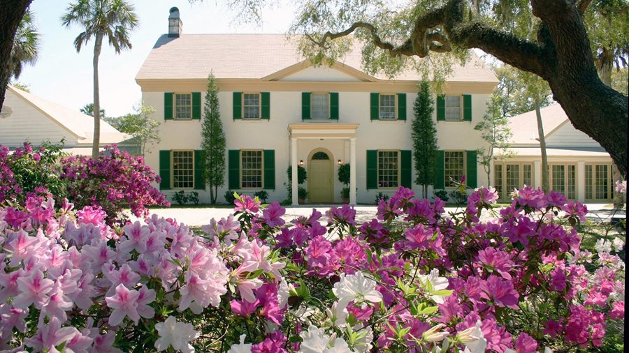
Florida State Parks pages give different lengths for the Fairway Loop (3 and 4 miles); the range reflects that difference.
11241 Fort George Road, Jacksonville, FL 32226View trail layout
Source map; may show several routes. Open the full map if the preview does not display on your device. Original map credits remain with the map.
Information checked October 12, 2026. Distances are identified as routes, segments or trail-system totals; they are not interchangeable. Check the linked park source for current closures, access rules and fees before visiting. Carry the official map for your chosen route. Special programs, rentals and transport are not included in free admission.